|
|||||||||||||||||||||||||||||||||||
|---|---|---|---|---|---|---|---|---|---|---|---|---|---|---|---|---|---|---|---|---|---|---|---|---|---|---|---|---|---|---|---|---|---|---|---|
| Other Links to Information about the Longleaf Trace | |||||||||||||||||||||||||||||||||||
| Souvenirs |
About
the Longleaf Trace |
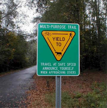
Rules of the Trace |
Friends on Facebook! Membership App |
||||||||||||||||||||||||||||||||
| Bicycle Rental |
Become a FRIEND of the TRACE |
||||||||||||||||||||||||||||||||||
|
Lake Thoreau Environmental Center |
Gateway Southern Miss in Hattiesburg |
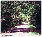
Maps and Pictures |
|||||||||||||||||||||||||||||||||
|
Camping,
Fishing, RV Parking |
 |
||||||||||||||||||||||||||||||||||
| Cycling |
Towns
along the Trace, including dining and lodging information |
Related Links |
|||||||||||||||||||||||||||||||||
| Events
on the Trace Also check on facebook |
Thanks to our Sponsors | Equestrian Facilities | Services | ||||||||||||||||||||||||||||||||
| Make a Donation |
Logbook
of Trace Users |
Archives of pictures and news |
Send Feedback or questions to the Trace | ||||||||||||||||||||||||||||||||
| Weather
Forecast for the Trace |
How's
business along the Trace? |
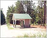
Weather Stations and Rest Stops |
Buddy's
Place Pet memorial |
||||||||||||||||||||||||||||||||